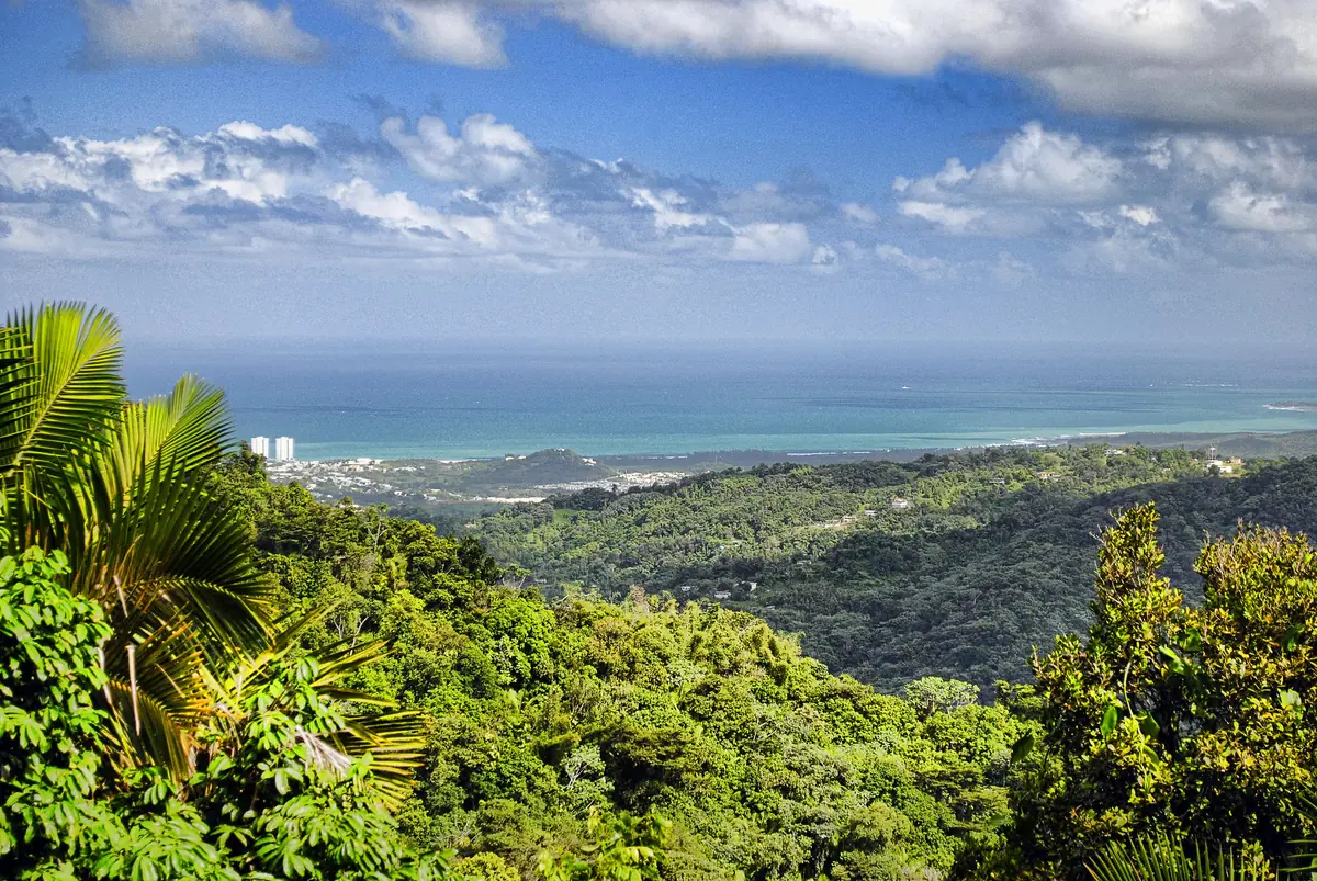
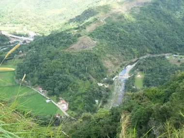
El Yunque is the island's famous forest, but the high country of Puerto Rico is in the center of the island. The Bosque Estatal de Toro Negro, Toro Negro State Forest, spreads across the crest of the Cordillera Central and includes Cerro de Punta, the island's highest peak at about 1,340 meters (4,390 feet). It is a cool, often misty forest of steep ridges, tree ferns, streams and small waterfalls, with a lookout tower that, on a clear morning, shows you both the north and south coasts. Facilities are basic and the roads are slow, but if you like quiet trails and mountain scenery, it is one of the most rewarding day trips on the island. As of autumn 2026, the forest is open, with free access and a campground in operation.
About the forest
Toro Negro is made up of seven separate tracts in the municipalities of Ponce, Jayuya, Orocovis, Ciales and Juana Díaz, covering roughly 7,000 acres. The largest share lies in Ponce and Jayuya. Its history begins in 1934–1935, when the federal Puerto Rico Reconstruction Administration acquired the land and set it up as a forest reserve. The U.S. Forest Service later managed it, and in 1970 it passed to the Puerto Rico government, which renamed it Bosque Estatal de Toro Negro. Today it is run by the Department of Natural and Environmental Resources (DRNA).
The forest protects the headwaters of the Río Inabón and is one of the wettest places on the island, with annual rainfall averaging around 110 inches. Most of it is lower montane wet forest, rich in ferns and orchids. Researchers have recorded about 160 tree species, among them tabonuco, ausubo and granadillo, and about 30 bird species, six of them found only in Puerto Rico. The endangered Puerto Rican sharp-shinned hawk and broad-winged hawk live here. None of the forest's snakes is venomous to people.
The Doña Juana Recreation Area
Most visitors start at the Doña Juana Recreation Area on PR-143, the mountain road that crosses the forest. The ranger office is at about kilometer 32.4, and the trails, picnic shelters and campground are clustered around it. Staff at the office can give trail information in Spanish, though it may not be open every day. Nothing is sold in the forest, so bring your own food and water.
Trails worth doing
The trail system is small and some routes shown on old maps are closed or no longer exist. The DRNA counts about 11 miles of trails and points of interest. The main ones near the recreation area are:
- Observation tower (Trail 3). About 0.6 miles (1 km) one way, steep and very slippery when wet, up to a tower on Cerro Doña Juana at about 3,537 feet. On clear mornings you can see both the Atlantic and Caribbean coasts. It is the forest's signature hike.
- Charco La Confesora (Trail 8). About half a mile from near the office parking lot, with muddy patches and concrete steps, ending at a small waterfall and a deep pool where swimming is allowed.
- Camino El Bolo (Trail 1). A loop of about 3 miles around Cerro El Bolo, the longest walk in the area.
- Las Cuarenta (Trail 5) and Doña Petra (Trail 9), short, often muddy connector trails.
The old swimming pool, La Piscina, reached by Trail 6, has been closed for repairs for years. Do not plan around it. Trail maps are available on hiking apps, and it is wise to download them in advance because the cell signal is poor.
Waterfalls, peaks and lakes nearby
Doña Juana Falls
Just outside the forest boundary, on PR-149 at around kilometer 41 between Orocovis and Ciales, the Doña Juana creek drops about 200 feet in a series of cascades on its way to the Río Toro Negro. You can see it from the bridge on the road. From the recreation area, drive about 3.9 km west on PR-143 to PR-149, then about 2.3 km north toward Ciales.
Cerro de Punta
The island's highest point is reached by a steep side road off PR-143 at about kilometer 17. Most people park on PR-143 and walk up, roughly half an hour, unless they have an all-wheel-drive vehicle. The summit is crowded with communications towers and has security staff, but it is open to visitors, and on a clear day the view across the mountains is superb.
Lakes
Lago Guineo, often described as the island's highest lake, and Lago Matrullas, which is stocked with bass, are part of the same high country. Kayaking and fishing are allowed.
Camping
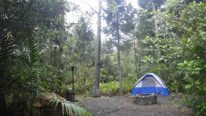
Los Viveros, near the ranger office, is the forest's only campground. It holds up to 35 people and has restrooms, showers and covered picnic shelters with grills. You need a DRNA camping permit in advance, and permits have been hard to get at times. Check the DRNA website or call the forest office well before your trip, and confirm that the restrooms and showers are working.
Getting there
Toro Negro is about two hours' drive from San Juan. Most routes end on PR-143, a narrow, winding mountain road with blind curves where other drivers often use the middle of the road. Drive slowly and leave the forest before dark, around 5 p.m., because the roads are heavily shaded. If you get carsick, take precautions before you set out. There is no public transport.
Practical tips
- Dress for the cold. Temperatures here are well below the coast, and the DRNA reminds visitors to prepare for low temperatures, especially in winter. Bring a fleece or rain jacket.
- Expect mud and rain. Wear shoes with good grip. September and May tend to be the wettest months, December through March the driest.
- Go early. Mornings offer the best chance of clear views from the tower and peaks.
- Bring everything you need: water, food and a basic first-aid kit.
- Pack out your trash or use the marked bins.
- Allow time. Plan at least two hours in the forest itself, plus the drive.
Combine it with
Toro Negro sits close to Toro Verde Adventure Park in Orocovis, known for its long zip lines. Coffee country around Jayuya is next door, with farms and small cafés. If you descend to the south coast, finish in Ponce at Plaza Las Delicias. For a very different rainforest experience in the east, compare it with El Yunque.