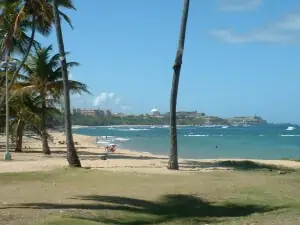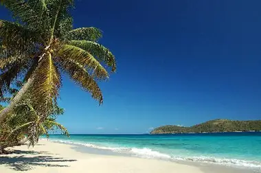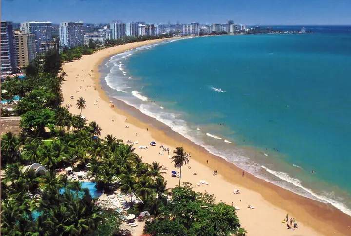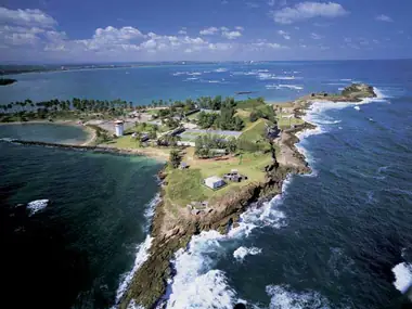
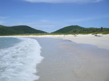
El Combate is a small beach community near the southwestern tip of Puerto Rico, in the Boquerón barrio of Cabo Rojo. Its long, flat beach is known for its sunsets, and locals drive in from around the area to watch the sun go down over the water. The water is often calm, clear and shallow, the mood is informal, and the salt flats, the Cabo Rojo Lighthouse and some of the island's most photographed coastline are a few minutes away. It is a simple place: come for the water, the light and a plate of fried fish, not for resort facilities.
A name with a story
"Combate" means battle, and the name comes from local folklore. The story tells of a fight between people from Cabo Rojo and people from neighboring Lajas over the salt ponds. To this day, residents of El Combate are teasingly called mata con hacha, "those who kill with axes," while their Lajas rivals are tira piedras, "those who throw stones." It is a folk tale rather than recorded history, but the nicknames are still in use.
The beach
The beach is part of the Boquerón State Forest, a group of protected coastal areas managed by the Department of Natural and Environmental Resources (DRNA). The sand is light and level, and the water shades from deep blue offshore to turquoise near the shore. In general the water gets calmer and clearer the farther south you walk, and the shallow areas make it a good beach for children on settled days.
The north side changed a lot after Hurricane María in 2017. Facilities that were already run down were destroyed and removed, and today that end is used mostly by fishermen and by people staying in trailers and campers. Along the shore you will see colorful houses, many built by fishing families and passed down through generations, and many now used as vacation homes or rentals.
The pier deserves a note, because older guides describe it as the place to jump in or fish at sunset. The old wooden fishing pier was removed. A new one has been built, but it is reserved for fishermen and boat owners with permits, so it is not open to visitors.
Punta Águila
For the best short walk, follow the beach south to its far end at Punta Águila. A strip of very shallow water separates the shore from a rocky islet that is habitat for endemic and migratory birds. It is the quietest corner of the area, particularly in the early morning. Do not go alone, especially with children, and watch your footing on the rocks. You can also reach this end of the coast on foot from the salt flats: the first trail on the right from the observation tower heads toward Punta Águila.
Sunsets and the weekend scene
By day the beach is mostly families. In the late afternoon people gather on the sand for the sunset before heading to dinner. On weekend nights the waterfront takes on a festive, mostly local atmosphere with groups of friends and families. Small chinchorros (informal food stands) sell fritters, fresh seafood and cheap drinks, and there are a few sit-down restaurants and bars near the beach. Gas stations, minimarkets and bakeries along the road in are good for water and snacks.
Las Salinas and the wildlife refuge
A short walk away by trail are the salt flats of Cabo Rojo, known as Las Salinas, where seawater has been let into shallow ponds and evaporated for salt for centuries. Depending on the stage of evaporation, the light and the tiny organisms in the brine, the ponds range from white to pink. They are not a beach and you should not walk on the salt mounds or collecting areas.
The salt flats are a unit of the Cabo Rojo National Wildlife Refuge, an important stopover for migratory shorebirds. As of 2026, the U.S. Fish and Wildlife Service lists the interpretive center as open Wednesday to Saturday, 8:00 a.m. to 3:30 p.m. Across from it, an observation tower looks out over the ponds, the hills, the coast and the lighthouse. Three hiking trails start behind the center, passing mangroves, dry forest and salty lagoons.
Getting there and parking
PR-301 runs south from PR-101 through Boquerón toward the Los Morrillos lighthouse. El Combate is reached by PR-3301, a short spur of about 2.9 km (1.8 miles) that branches off PR-301 and is the only main road into the community. Parking along the beach is free and off the street, and most visitors leave their cars near the main restaurants at the entrance to the beach. A car is the only practical way to get here.
Practical tips
- No lifeguards and no public restrooms. Use the facilities at a restaurant where you buy food or drinks. Entry to the beach is free.
- Cell signal can be weak, so download offline maps and tell someone where you are going if you walk to Punta Águila.
- Bring water, a beach umbrella or other shade, sunscreen and snorkel gear if you have it.
- Best time. Morning for calm water and birds, late afternoon for the sunset. Weekends are busy, weekdays are quiet.
- Respect the protected areas. Stay off the salt mounds, keep away from nesting birds and take all trash with you.
Combine it with
El Combate fits easily into a loop of Cabo Rojo's southern tip. Start at the salt flats, continue to the end of PR-301 for the Cabo Rojo Lighthouse and the curved cove of Playa Sucia, then come back to El Combate for the sunset. Note that the last stretch of PR-301 toward the lighthouse is unpaved sand. For dinner with more choice and weekend nightlife, the village of Boquerón is just to the north, and La Parguera is a reasonable drive to the east. Find restaurants and lodging in the Cabo Rojo directory.
Good to know
- Where: El Combate, Boquerón barrio, Cabo Rojo, at the end of PR-3301.
- Free beach and free parking, but no lifeguards or public restrooms.
- The new pier is closed to the public.
- The salt flats interpretive center is open Wednesday to Saturday, as of 2026.